Longships Lighthouse
A truly vital guide mark for seafarers
The Longships Lighthouse might not be the prettiest, but it’s an absolutely vital guide for seafarers, showing them the way through the treacherous waters off the coast of Land’s End. The landmark offshore, visible from England’s most westerly point and popular tourist attraction, is situated in a truly unique landscape of natural beauty and breathtaking scenery.
Longships Lighthouse
Land’s End, Sennen, Cornwall, United Kingdom
Celtic Sea
Visited Land's End several times, last in June 2024. The offshore lighthouse cannot be visited.

Facts & Figures
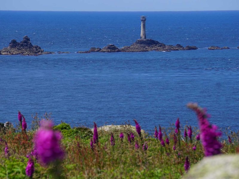
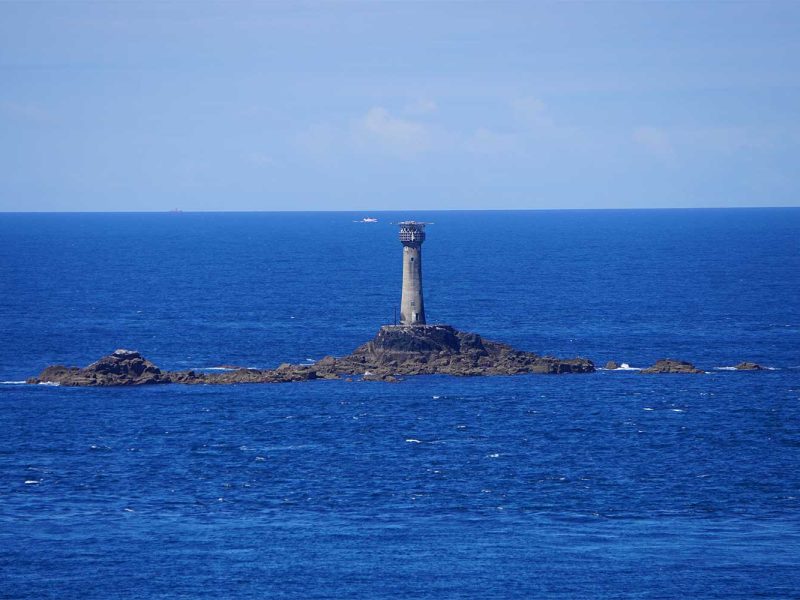
Perched on Carn Bras, the highest islet of the exposed reef, 1.5 miles (2 km) offshore from Land’s End, Longships Lighthouse is an icon of the Cornish coastline. It was built to warn ships away from this notoriously dangerous stretch of coastline, which is steeped in history of shipwrecks.
The first tower was built in 1795. But the waves that swept the rock during storms used to obscure the lantern, so the light wasn’t as helpful as it could have been.
So, in 1875, they built a 35-metre-high tower of grey granite to replace the shorter one. Since then, it has bravely withstood the raging sea. From Land’s End, the lighthouse may look small, but the tower is as tall as 12 houses!
For more technical details and an insight into the building’s history, head over to the Trinity House website!
Bizarre Rock Formations And Their Funny Names
The coast around Land’s End is full of incredible sights, with some truly bizarre rock formations! Many of these rock structures have been given names over the years, adding to the area’s rich history and lore.
The name of the Longships on which the iconic lighthouse stands is inspired by the resemblance of the rocks to a Viking longship – how cool is that? Amazingly, most of the islets of the reef get submerged at high water, except the three largest ones: Carn Bras (Cornish: Karn Bras, meaning big rock-pile), the one on which the lighthouse stands, Tal-y-maen (Cornish: Tal an Meyn, meaning brow of the stones) and Meinek (Cornish: Meynek, meaning stony place) – what a trio of names!
And there’s another island just to the south of the main headland, called Enys Dodnan. ‘Enys’ is Cornish for ‘island’, so that’s another one to add to your list! And beyond that, further out to sea, is the incredible Armed Knight ridge of rocks!
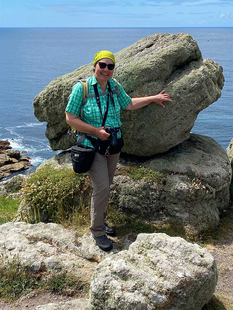
The coast at Land's End is home to some truly incredible rock formations! I absolutely loved this animal head! Can you guess which animal it is?

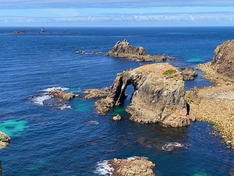
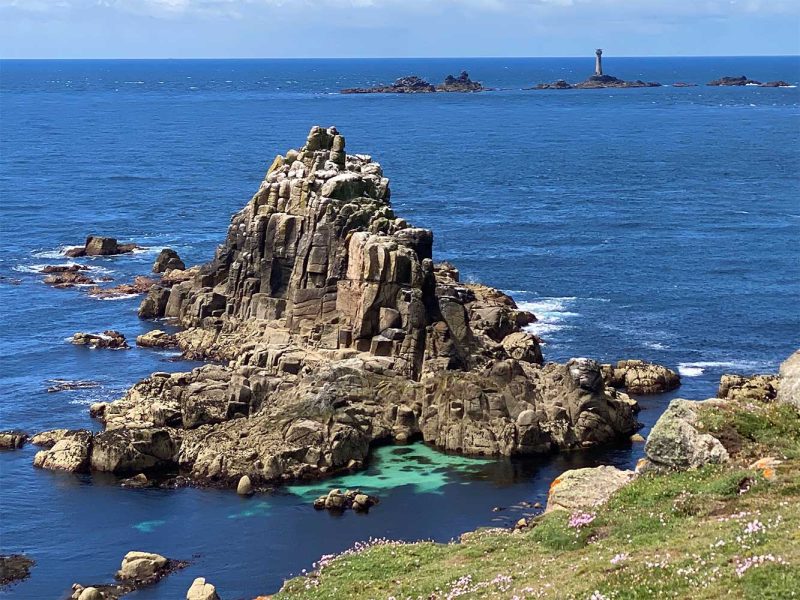
The name of the reef comes from the resemblance the rocks have to a Viking longship. The lighthouse stands on Carn Bras (Cornish: Karn Bras, meaning big rock-pile).
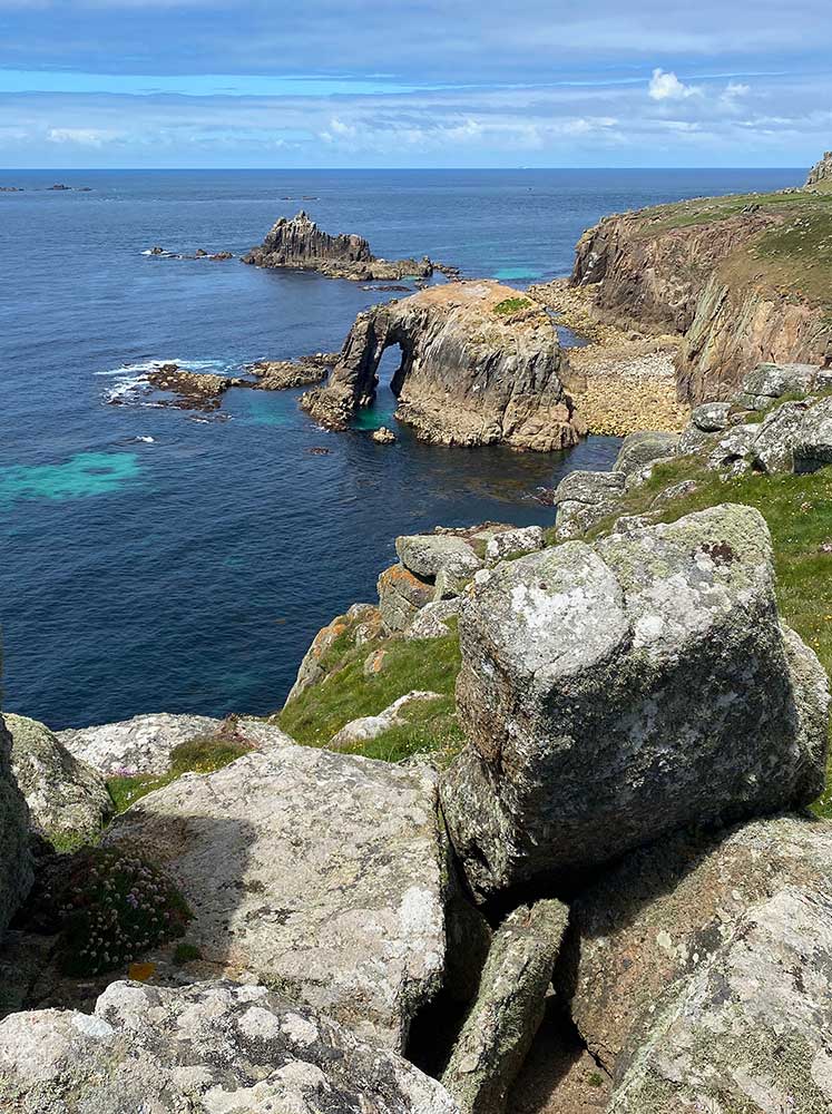
The name of the rock arch in front is Enys Dodnan ('enys' being Cornish for 'island'). The ridge of rocks behind is known as the Armed Knight.
Is Land’s End the most westerly point of Great Britain?
You’ve probably heard that land’s end is britain’s most westerly point, and that there’s nothing after it until you reach the USA, except the vast Atlantic Ocean? It would be incredible if it were!
Oh, that’s not quite right! Let me set the record straight: The title of the most westerly point of Britain goes to Corrachadh Mòr in the Scottish Highlands. But Land’s End can rightfully claim to be the most westerly point of the English mainland!
But wait, there’s more! If it includes the islands, the westernmost point goes to the Crim Rocks, an uninhabited
group of islands in the far west of the Isles of Scilly. They are located 2.4 kilometres north-northwest of Bishop Rock
and form the westernmost landmass in England. Bishop Rock Lighthouse is one of five beacons in the area around the Isles of Scilly and the westernmost tip of Cornwall.
Can you see as far as to America from Land’s End?
Not quite! The next landfall won’t be in North America. Just 28 miles (45 km) away are the Scilly Islands, the last stop
before reaching the shores of America! If the weather is good, you can even see the group of islands from Land’s End!
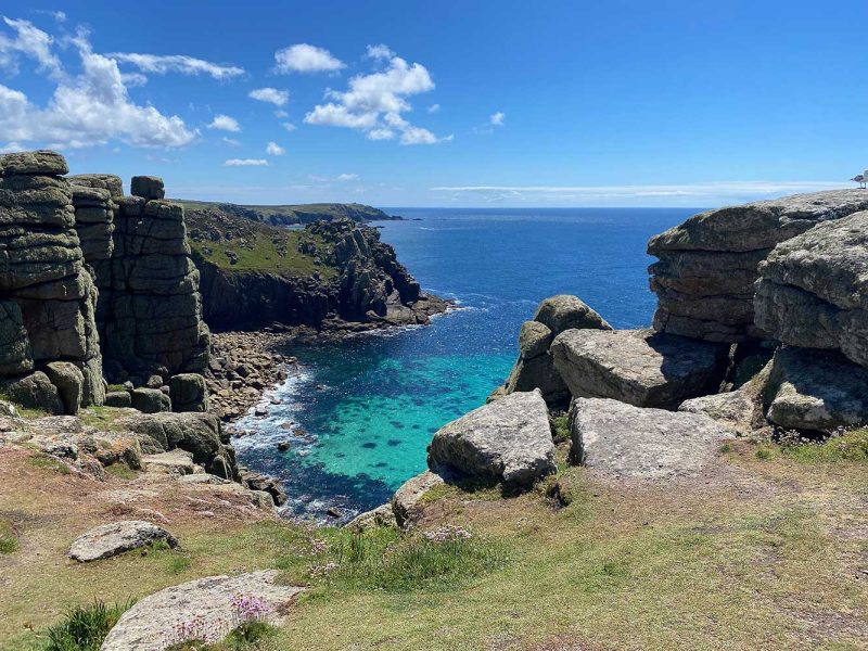
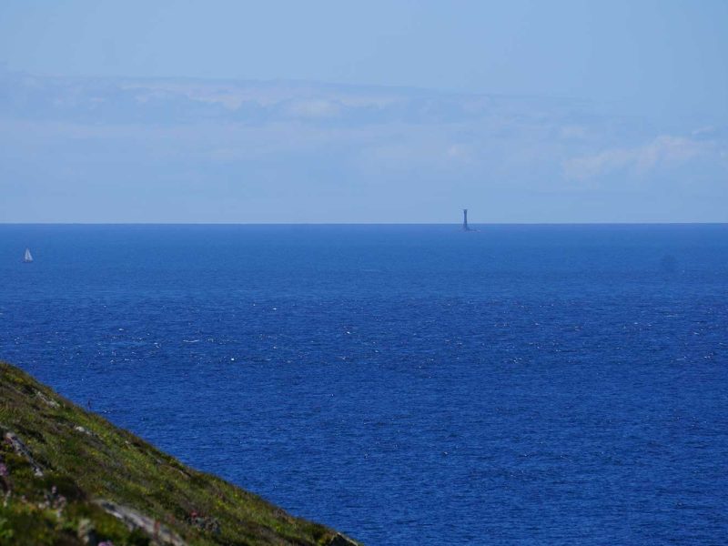
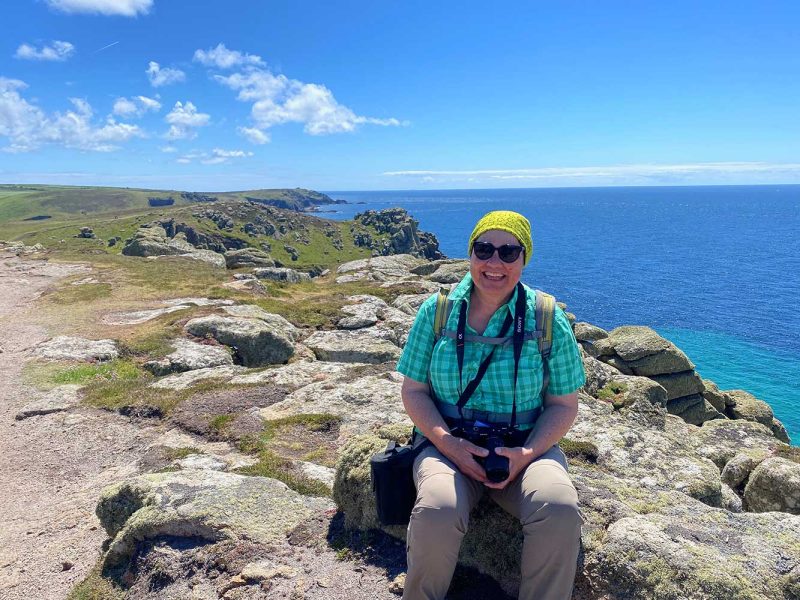
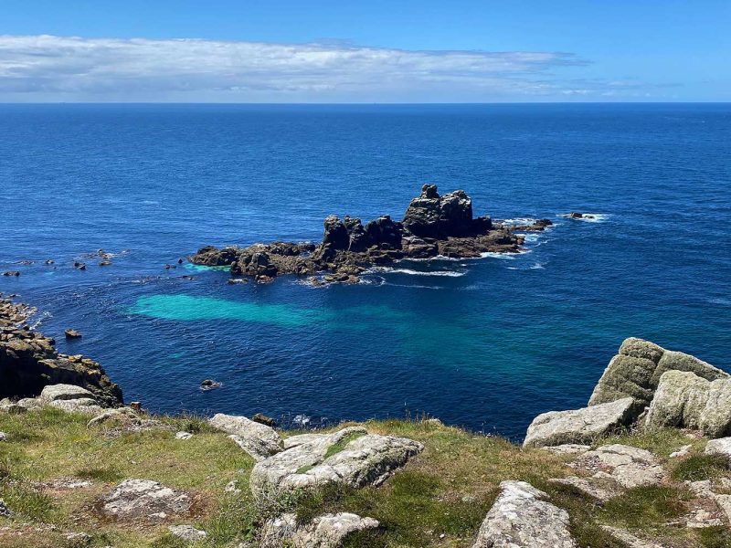
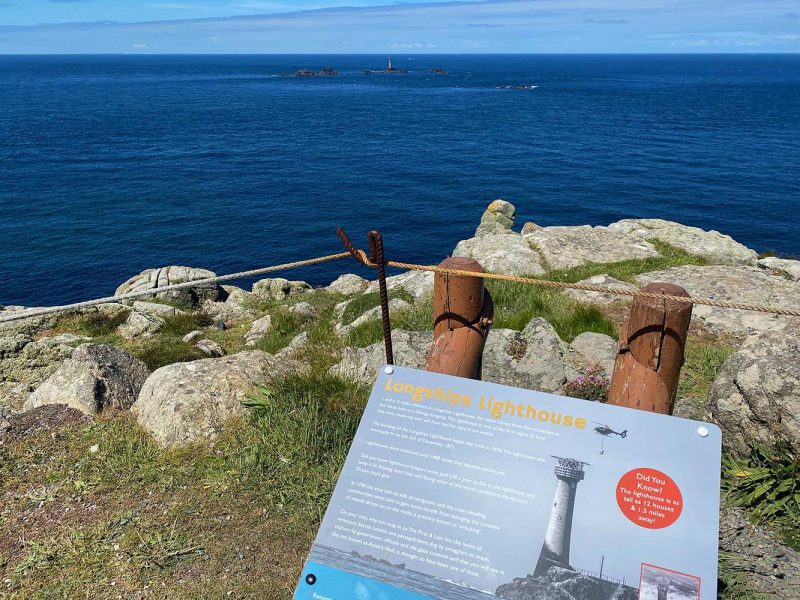
We were really lucky and could see as far as the stunning Scilly Isles (not visible in my photos). One picture shows the magnificent offshore
Wolf Rock Lighthouse, which is around ten miles off the southwest coast of Lands End.
About Wreckers And Painters
The treacherous waters at Land’s End are notorious for their many shipwrecks. But the truth is, not all of them were down to the rough seas. In fact, the region was also known to have benefited from the regular spoils of shipwrecks! Some say that certain people even lured ships to their doom with lights and beacons in order to profit from the spilled cargo. These daring individuals were known as wreckers!
However, many artists were also irresistibly drawn to shipwrecks and the stormy seas! The English Romantic painter, printmaker and watercolourist William Turner (1775 – 1851) had a real passion for turbulent, often violent marine paintings. He captured the old Longships Lighthouse, as it is washed over by huge waves, several times. You can see a selection of his work on the website of Tate. One also shows a shipwreck!
You Can't Get Enough?
Here you can find some of the other lighthouses that I have visited.
